
Northport Neighbor Sources by Block
A block lookup joins sources that describe land, ownership, registration, and public community roles. They do not have equal reach. Tuscaloosa County GIS is the practical starting point because it places the subject parcel beside its touching lots. The property search adds indexed owner and parcel fields. Deeds verify transfers. Election access can describe registered-voter presence only within strict limits.
| Source | What It Shows About a Block | Access |
|---|---|---|
| Tuscaloosa County GIS parcel map | Parcel shape, adjacency, tax identifiers, and mapped ownership | Free map; tax-purpose information, not a survey |
| Public GIS Basic Search | Parcels sharing a physical street name, owner lead, acreage, value, district, subdivision | Free; no documented ZIP filter or owner export |
| Recorded deeds and plats | Lot or block description and transfers for a selected parcel | Free account and images from March 20, 1975; older historical books |
| Full voter list | Lawful fields for registered voters within requested geography | Requested under Ala. Code §17-4-38; exclusions and use limits apply |
| VoterView | One voter's status, address, and polling place | Self-check with name, birth date, and CAPTCHA |
| City addressing and planning files | Parcel-linked address changes, corner-lot orientation, and land-use context | Form or focused records request; no public index found |
| Community organizations | Public officers or contacts that an organization chooses to publish | No official Northport HOA or member directory was located |
The ownership map is a lead, not a list of nearby residents. It leaves out renters and most household members. An owner may receive tax mail elsewhere, and a recent sale can take time to appear on the assessment roll. Read the deed before treating the roll as current ownership. Keep the parcel number beside each note so similar street numbers do not merge into one household.
Map Northport Neighbors Parcel by Parcel
The Tuscaloosa County Public GIS Basic Search accepts a physical street number and street name. Leaving the number blank can return parcels along the entered street. Results appear below the map, and the spy-glass control at the left of a row zooms to that parcel.
Once the starting lot is visible, inspect the parcel fabric, the mapped web of lot boundaries, for land touching it along the road and behind it. Select a nearby parcel if the active map allows that action. Otherwise, return to the street results and open one parcel row at a time. The official material does not promise a radius or buffer tool, nor does it advertise an owner export. Map browsing and individual selection are the defensible method.
- Search the subject's physical address in Basic Search and confirm the parcel number, subdivision, and mapped location.
- Use the spy-glass to zoom, then identify the lots touching the subject parcel and those directly across the street.
- Open each parcel record and record the owner label, situs address, tax-mail address, and parcel identifier separately.
- Check a recent deed when ownership matters. Do not infer occupants from the owner name or mailing address.
For a complete named-street chain, switch to the Northport street directory. A neighbor lookup should stay focused on the immediate block.
Northport Owners Are Not Occupants
Three address keys need separate labels. The physical or situs address is where the parcel lies. The owner mailing address is where tax correspondence goes. The parcel ID and legal description identify the land across changes in street wording. A matching Northport situs and mail address may support an owner-occupancy inference, but neither the match nor a tax exemption lists every person in the home.
The Tuscaloosa County Tax Assessor maintains the assessment side of that record. Its official page is shown below.
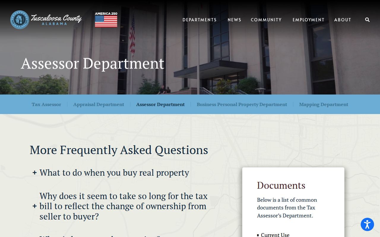
The assessment page ties the block method to the public office responsible for ownership changes and tax-roll facts.
Tax maps are working indexes built from deeds, plats, and other land records. The Alabama Department of Revenue's tax-map explanation supplies that context and is pictured below.
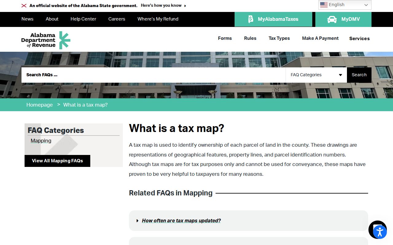
The tax-map view helps identify adjacent parcels, but a survey and recorded conveyance control legal boundary questions.
Note: The tax-bill name can lag a transfer by a tax year, so a current deed should confirm ownership before a name is relied upon.
Northport Neighbor Voter Limits
Alabama Votes My Voter Page cannot browse a block. It asks for first name, last name, date of birth, and a CAPTCHA to verify one registration. The separate address tool returns polling-place information. Its result may include registration status, ballot status, polling location, and address, but it does not expose a neighbor roster or ballot choices.
A full list request is different. Ala. Code §17-4-38 permits geographic requests, including city, county, or district scope, and the posted form has residence-address and district fields. Yet a 2026 amendment effective June 1 removes driver-license and nondriver ID numbers, voter ID numbers, email, phone, and month and day of birth from dissemination. It also bars sale, publication, and commercial use outside the stated exceptions. Only a lawful request and allowed address-oriented sort could support a block comparison.
The Tuscaloosa County Board of Registrars keeps registrations current, handles moves and eligibility updates, and explains active or inactive status. The roll covers registered voters, not every nearby resident. It omits children, unregistered adults, and protected or excluded data. Participation history means which elections a person took part in, never how the ballot was cast.
Northport Address Files Add Context
Northport Planning and Inspections assigns or changes city addresses through a parcel-linked process. The address request calls for the parcel ID, subdivision and lot, owner mailing address, and the kind of request. On a corner lot, the assigned street orientation can differ from what an older directory, deed, or informal description suggests.
No searchable public history of every request was found. Contact the city with a focused request when an address changed or a corner parcel is confusing. Ask for the address assignment or change record tied to the parcel, with a date range if known. State whether an electronic copy is acceptable and describe the exact lot if the street number is uncertain. A narrow request gives staff a better key than a general demand for block records. Planning and zoning maps may also establish city-limit and land-use context, but they name no residents. A postal Northport address alone does not prove that the parcel lies inside the municipal boundary.
Northport Community Lists Stay Voluntary
No authoritative citywide Northport neighborhood-association, HOA-member, congregation, veterans-post, union, or block-watch roster was located. Subdivision names shown in assessor and planning systems, such as Grand Point, Forest Glen, Glen Crest, Oak Creek, Smoke Rise, North Country, and Huntington Village, are geographic labels. They do not prove an active association or a public membership list.
| Community Source | Responsible Use |
|---|---|
| Northport Find directory | Public business and organization contacts; affiliation evidence, not residence |
| Tuscaloosa Public Library subject files | Church histories, cemetery articles, grave lists, and civic context by topic |
| Organization's own public page | Named officers or contact details the group chooses to publish |
| Private member roster | Not presumed public and not a substitute for an official resident roll |
Northport's public Find directory can connect a name with an organization or storefront. It cannot turn a business contact into a home address. The same rule applies to congregations and clubs: public officers may be visible, while ordinary membership remains voluntary and private.
Northport Neighbor Tools Compared
Official and commercial sources are built for different ends. The county parcel system indexes land for assessment. The deed office preserves recorded transfers. Commercial neighbor tools combine varied datasets and may keep old addresses or merge people with similar names. A polished screen does not cure a stale source.
| Feature | Official Block Records | Commercial Compilations |
|---|---|---|
| Source | Named county, city, or state custodian | Mixed public, directory, and marketing feeds |
| Best use | Confirming a parcel, filing, or lawful registration fact | Unverified lead that must return to an official source |
| Main risk | Lag, narrow scope, and statutory exclusions | Stale addresses, merged identities, and unclear refresh dates |
| Correction | Contact the custodian responsible for the source record | Use the provider's removal process, which does not alter government records |
Alabama has no comprehensive statewide data-broker deletion portal documented in the research. A person seeking removal generally must use each service's privacy process, save confirmations, and recheck later. The underlying deed, parcel, or open court record can only be corrected through its custodian.
Privacy Around Northport Neighbors
Utility accounts and motor-vehicle address data are not alternate street directories. Federal law protects driver information. Alabama voter access excludes specified identifiers, while shelter locations and some victim information receive special protection. Juvenile, adoption, sealed, and expunged court files also stay outside ordinary public lookup. Private HOA, church, and civic membership cannot be presumed open.
Parcel records identify assessed owners, not every person on the block. A deed proves a recorded transfer, not who slept at the address last night. Voter data covers registrants within the legal request scheme, not all occupants. Those limits should remain visible in every Northport neighbors search.
Lawful use. Check Northport neighbors for civic curiosity, reconnecting, block history, or personal safety awareness. Never use a map, roll, or directory to watch, harass, threaten, or expose anyone.